Suntop Mountain fire lookout

Veronica and Catarina flew home to Texas for the weekend, leaving me in an empty house for the first time in two years.
What is a man to do when he is suddenly a bachelor again? Go hiking, of course.

My co-worker, Thomas Kyle-Milward, enjoying the spectacular views from a rock on the side of Suntop Mountain. This was a great place to catch your breath and relax in the true quiet of nature. (Photo by Craig Craker)
My co-worker, Thomas Kyle-Milward, enjoying the spectacular views from a rock on the side of Suntop Mountain. This was a great place to catch your breath and relax. (Photo by Craig Craker)

A co-worker – Thomas Kyle-Milward – and myself wanted something that was nearby, would give us a workout, and had a pay off with views. Using the hike-finder map at WTA.org – which should be bookmarked on every Washingtonian’s computer – we settled on a pair of short hikes near Enumclaw.

These nice people told us they come to this mountain a lot for exercise. They are hardier folks than I, as I was gasping for air at the elevation (5,280 feet) and the steepness of the trail. (Photo by Craig Craker)

The first was a short, but extremely steep climb up Suntop Mountain to the fire lookout. The second, which I plan on writing about next week, was to the wondrous Skookum Falls.
I picked Thomas up at 8:30 a.m. on a gorgeous Friday morning … and then we sat on I-5 in traffic for 30 minutes (boooooo). Eventually, we got to go highway speeds as we cruised toward Enumclaw. I have never been to this part of the state and was wowed by the constant views of Mt. Rainier hovering over the valley.

Mt. Rainier's north face shot from the trail up to the Suntop Mountain summit. The mountain is just 10 miles away at this point - which is almost too close to show the true scope of how huge it really is. (Photo by Craig Craker)
Mt. Rainier’s north face shot from the trail to the Suntop Mountain summit. The mountain is just 10 miles away at this point – which is almost too close to show how huge it really is. (Photo by Craig Craker)

After passing through Enumclaw, you head east on Highway 410 toward Chinook Pass. Turn off on Forest Road 7315 and begin a 6-mile climb on gravel, dirt and muddy roads, with lots of potholes, ruts and an active logging operation to reach the parking lot near the top of Suntop Mountain.

The Central Cascades in the distance. There are 360-degree views from the top of Suntop Mountain. On a clear day you can see Mount Baker 150 miles to the north. We saw her, but she was a bit out of range for my camera. (Photo by Craig Craker)

We met some friendly folks in the parking lot who told us we could take the long way up the road – which is gated – or go the short, but steep hike up the trail. We chose the trail and set off into a stand of trees.

The summit area has a parking lot, vault toilet, outbuilding and the historic fire lookout (building in middle). While there are 360-degree views from near the lookout, the best views of Mt. Rainier are on the trail leading up to the summit, where there are less trees.

The trail is narrow, but offers good footing and is well defined. But, man, was it steep. You gain 1,100 feet of elevation in the 1-mile hike up the hill. I had to stop for frequent breaks, as my legs felt like they were going to fall off.

A close up shot of Mt. Rainier and what appears to be an avalanche of some sort. With the mountain just 10 miles away, our long lens afforded us extremely close shots. (Photo by Craig Craker)

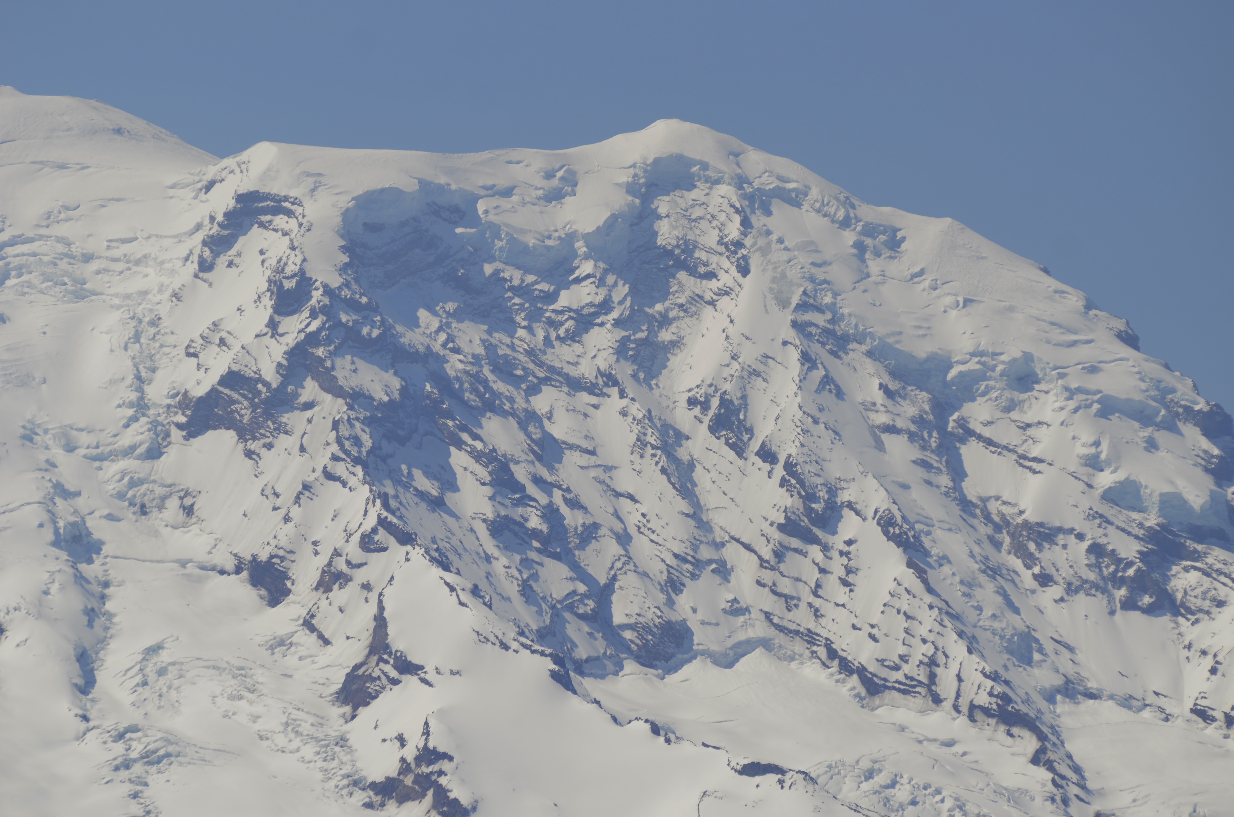
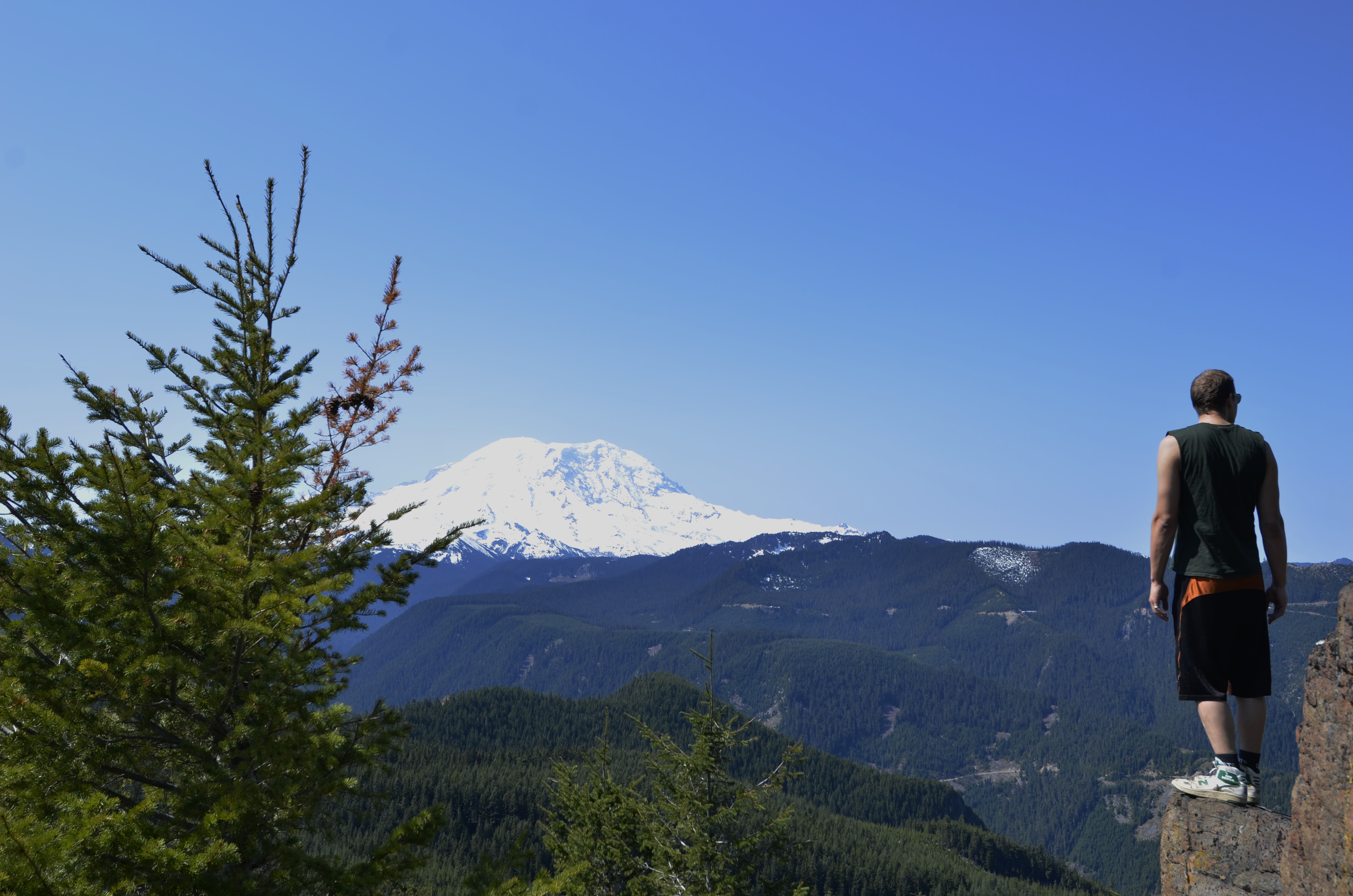
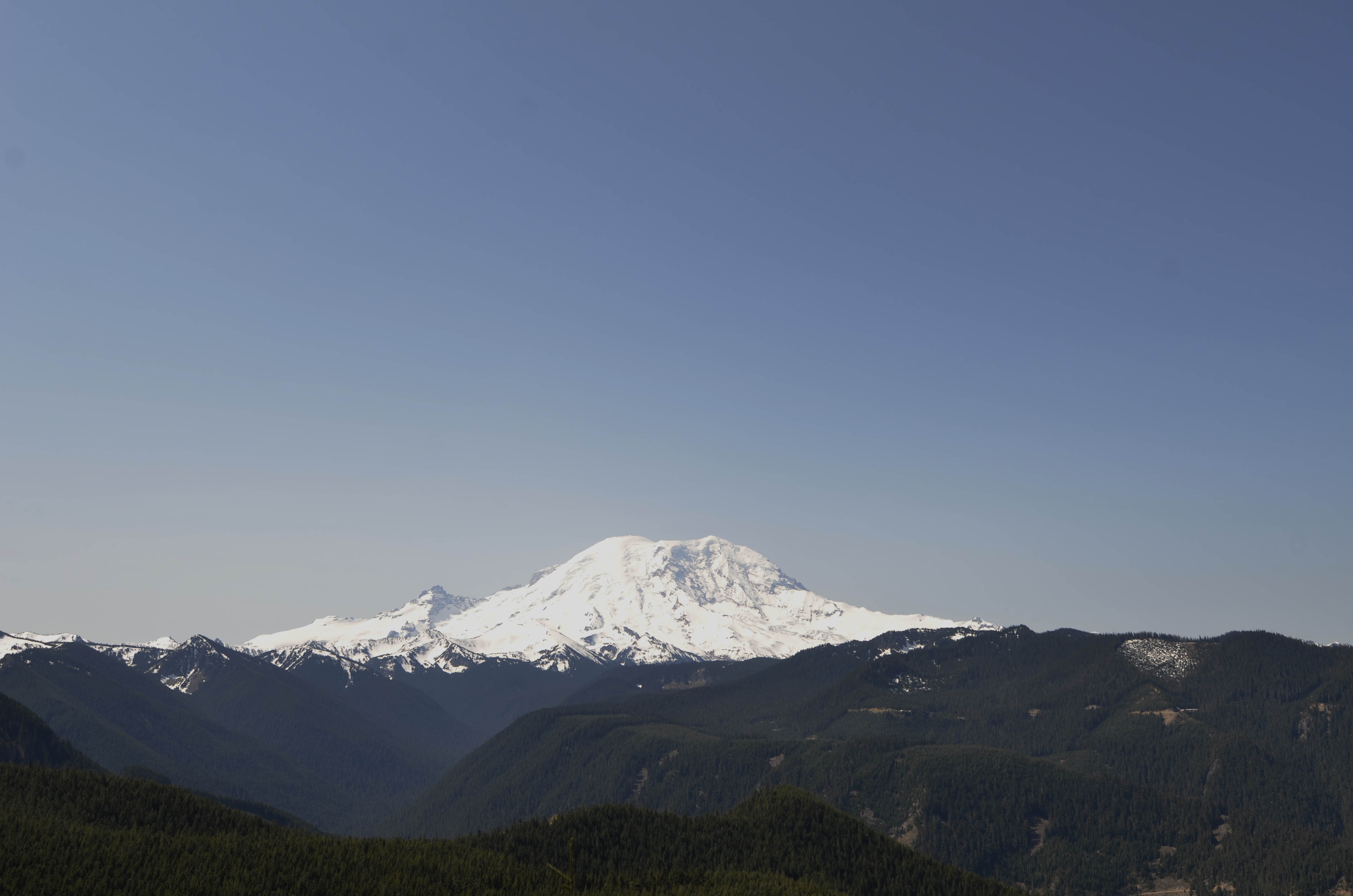
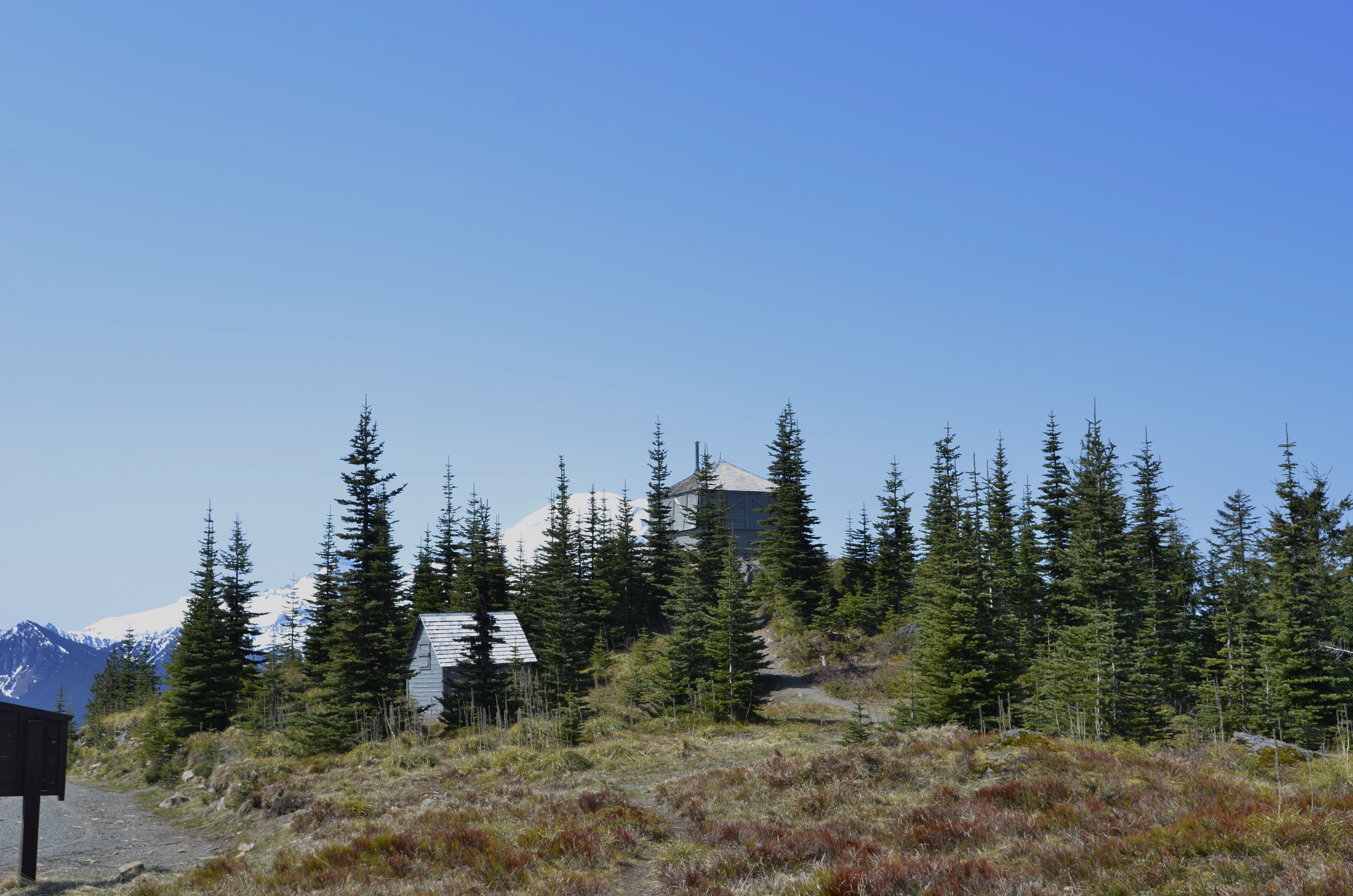
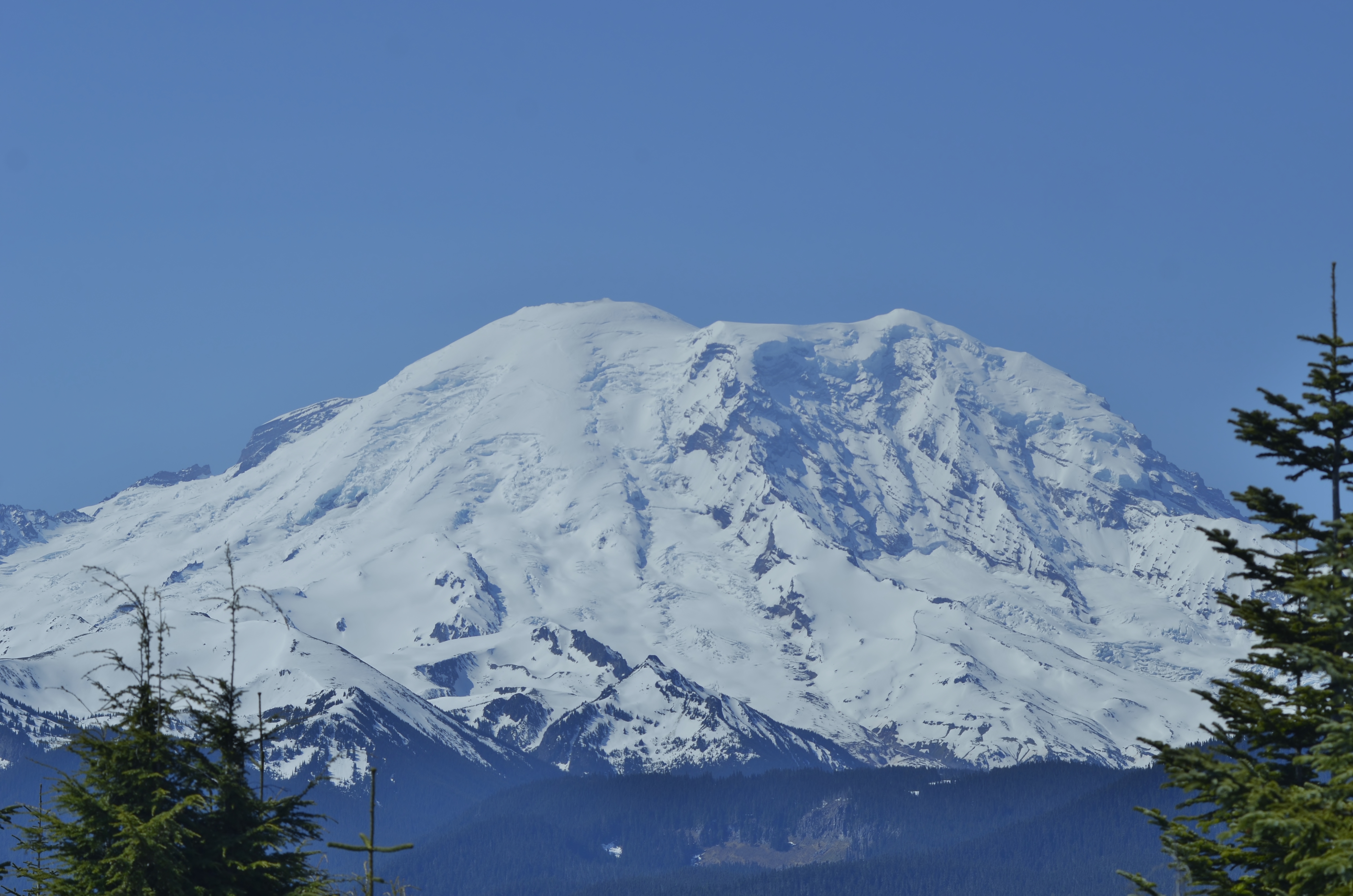
After you come out of the tree line and reach a rocky area near the summit, you are rewarded with stunning views of Mount Rainier 10 miles to the south. There are some big rocks that are easy to climb that offer the best photo opportunity of the mountain on this hike. It is also a nice place to relax and rest, enjoying the serenity of nature.

Mount Rainier looks different from this part of the state, as you are seeing the north face of the mountain. Not the same view you get from Seattle or Tacoma. (Photo by Craig Craker)

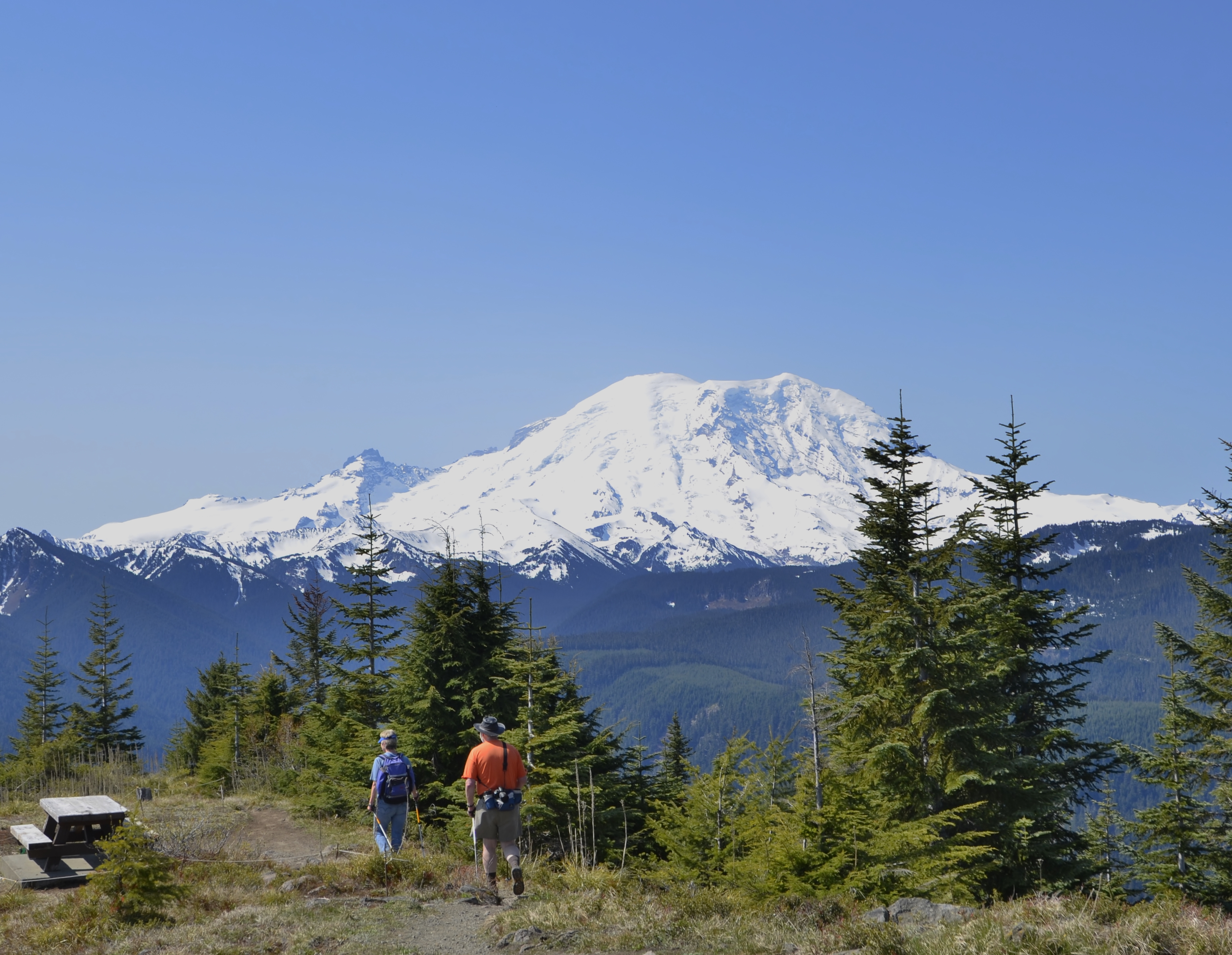
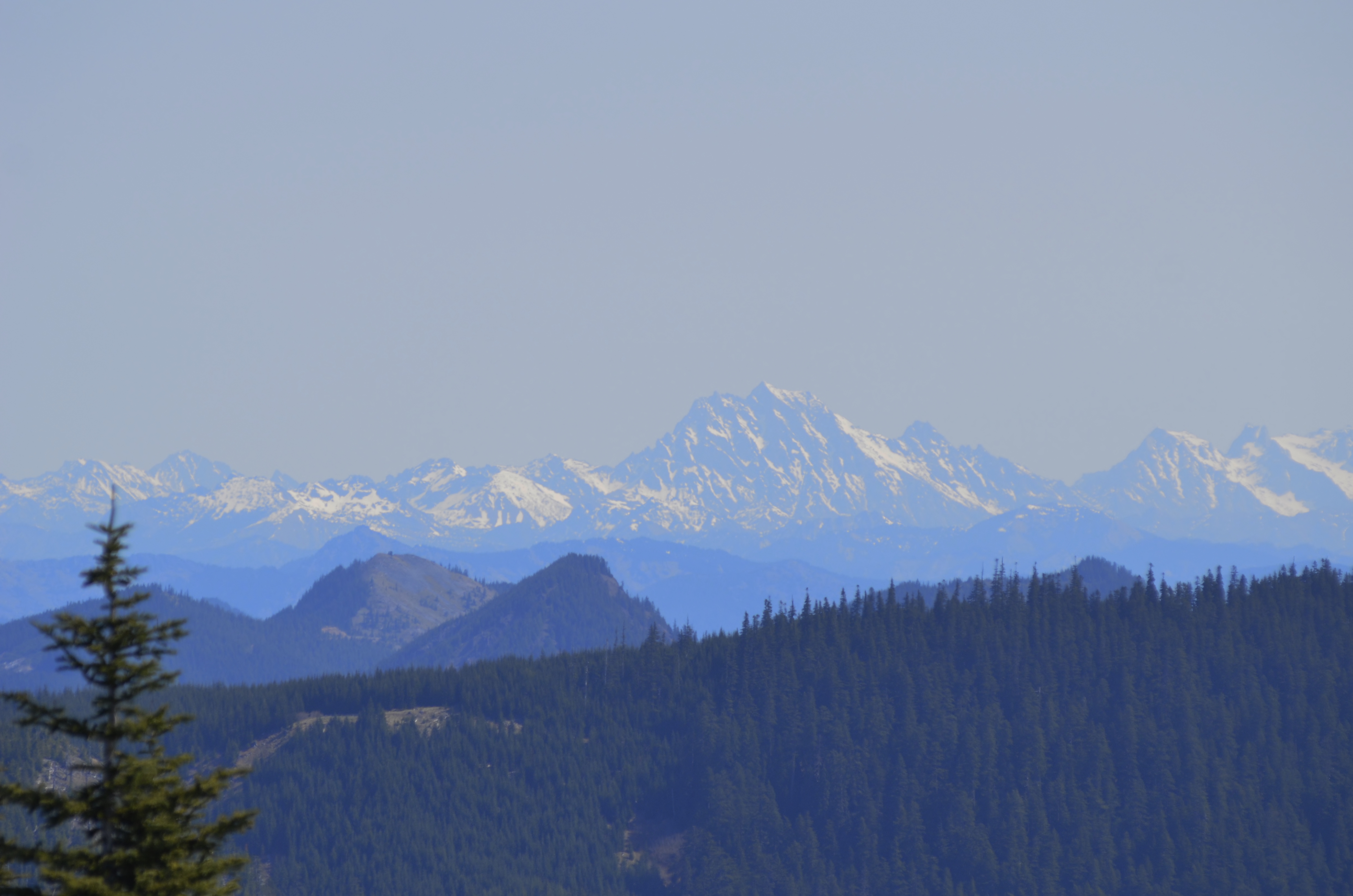
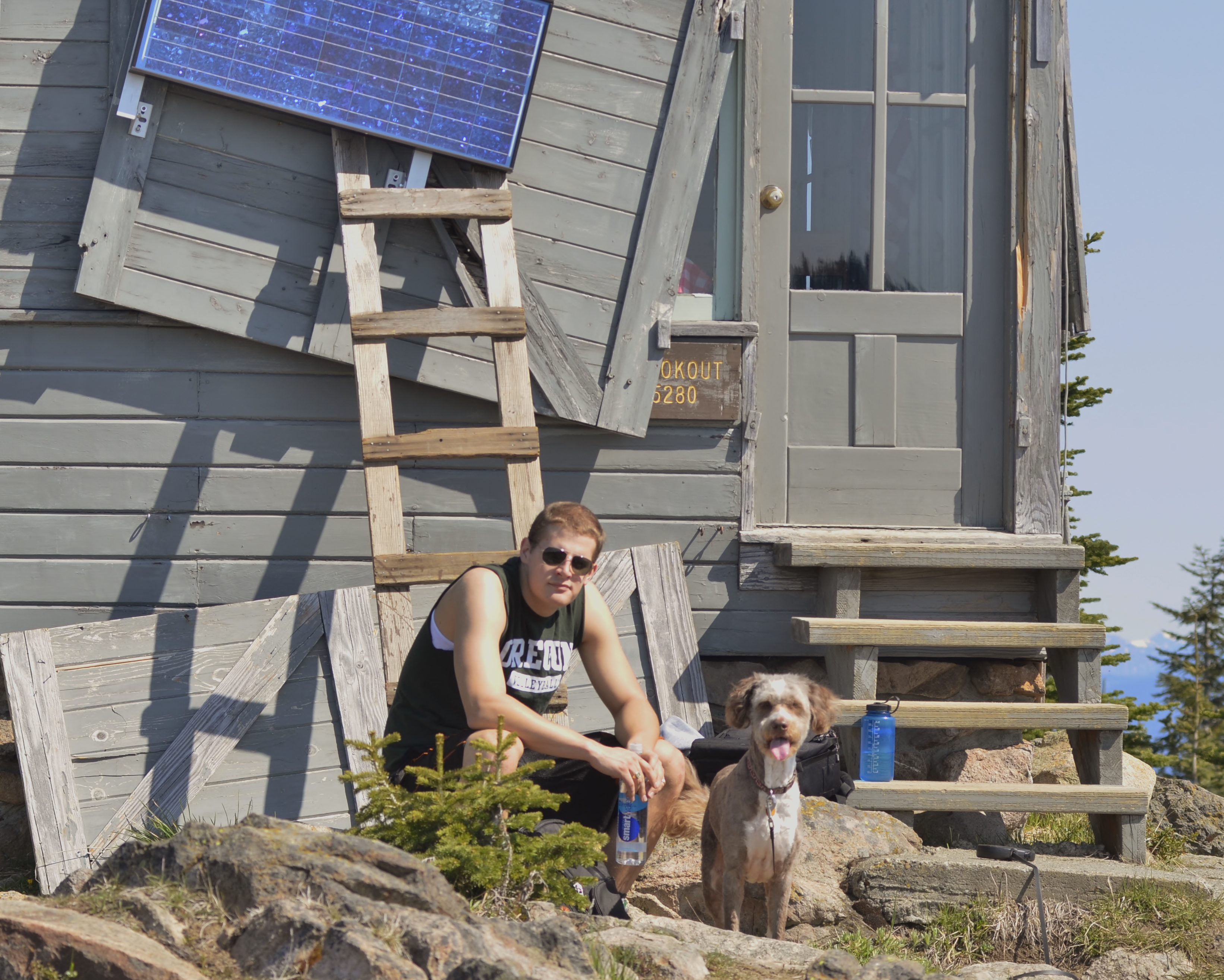
Continue up the hill to the top where there is an unused parking lot, a vault toilet and the lookout, which was not in use on this day. You get stunning views of Rainier – which is a bit obstructed by trees – and the Cascades in general. Mount Baker even was peeking out in the distance, roughly 150 miles away. We ate a sandwich, rested, found some snow, and enjoyed the view before heading back down.

My co-worker, Thomas Kyle-Milward, and my dog, Ms. Molly, relax in the beautiful May weather. The fire lookout was built in 1932 or 1933 and was placed on the National Historical Register in 1987. (Photo by Craig Craker)
My co-worker, Thomas Kyle-Milward, and my dog, Molly, relax in the beautiful May weather. The fire lookout was built in 1933 and was placed on the National Historical Register in 1987. (Photo by Craig Craker)

I think the best part of the day, was proving to myself that I could handle that much elevation gain in such a short amount of time. It certainly opens up the possibilities for a lot of hikes I didn’t think I was capable of later this summer.

– Craig Craker

If you go
Location: Near Enumclaw. Travel east on Highway 410 for 17.5 miles and continue onto Chinook Pass Highway for another 6.8 miles. Turn right on Forest Road 7315 and follow for about 6 miles to the locked gate and parking lot.
When: In the winter, this is a snowshoe hike. We saw a bit of snow at the top in early May of a very low-snow season. Best hiked on a clear day to take advantage of the views.
What: Fire lookout structure built in 1933, open to the public sometimes during the day. Stunning views of Mt. Rainier, 10 miles to the south, the White River, the Central Cascades and Mt. Baker on clear days.
Fees: Northwest Forest Pass required. $30 per year or $5 per day. Honored at all Forest Service operated sites in Oregon and Washington.
Kid-friendly: Yes. Though the trail is very steep, so be prepared for slow going.

One Comment Add yours

Leave a Reply

Fill in your details below or click an icon to log in:

WordPress.com Logo

You are commenting using your WordPress.com account. Log Out /  Change )

Facebook photo

You are commenting using your Facebook account. Log Out /  Change )

Connecting to %s

This site uses Akismet to reduce spam. Learn how your comment data is processed.